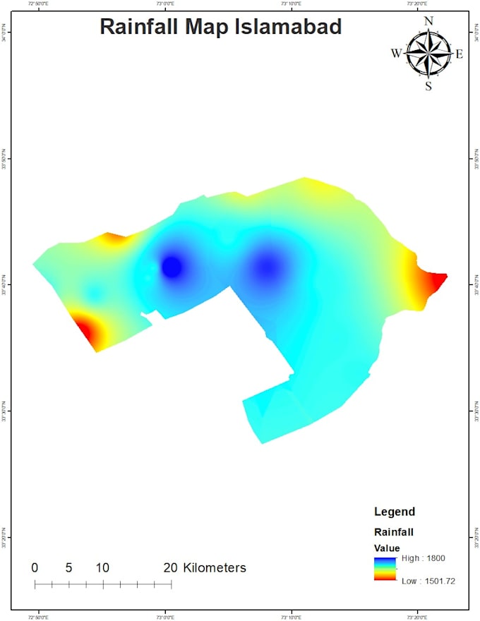
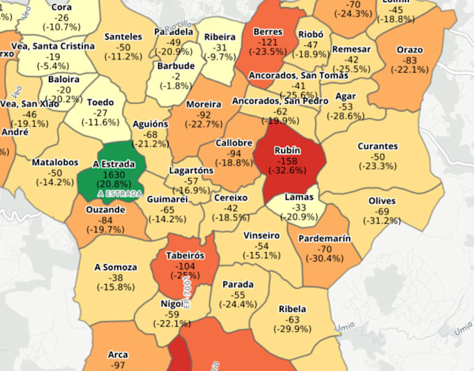
Ik zal ruimtelijke analyses en GIS-mapping uitvoeren in ArcGIS Pro QGIS

S
shaharyar_gis
S
shaharyar_gis
Shaharyar
Sommige informatie is automatisch vertaald.

Over deze dienst

Automatische vertaling


Ik heb meer dan 3 jaar industriële en onderzoeks ervaring op het gebied van Geografisch Informatiesysteem (GIS) en Remote Sensing (RS). Ik heb ervaring met het verwerven en creëren van geospatiale data, cartografische presentaties/kaarten, analyse in model builder, geodatabase ontwerp en beheer, landgebruik- en zoningkaarten, netwerkanalyse, ruimtelijke analyse en modellering, statistische analyse, geoprocessing, beeldverwerking en meer. Voel je vrij om contact met mij op te nemen voordat je een opdracht plaatst om specifieke details over het project en de data te bespreken.

Maak kennis met Shaharyar

Shaharyar
  • Afkomstig uitPakistan
  • Lid sindsokt 2025
  • Talen

    Engels, Urdu, Pasjtoe
I am a GIS expert with Five years experience having profound knowledge in spatial data, analysis and mapping. I specialized in custom cartography and working with Geographic based solutions and highly skilled at managing large-scale projects from the data gathering phase to completion of the project. I have hands on experience with working in ArcGIS, ENVI, Google Maps,Erdas Imagine, ArcGIS Pro, and QGIS, Google Earth, Google Earth Engine My services: • Spatial Analysis & Modeling • Topology and Network Analysis • Remote Sensing Data Acquisition and Processing • Land Use/Land Cover Analysis

Automatische vertaling