Door categorieën bladeren
Ontdekken
Fiverr Pro
Nederlands
$
USD


Automatische vertaling
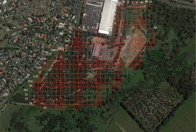
Ik zal:
- Kaarten maken (thematische kaarten, heatmaps, choroplethen)
- Geografische patronen analyseren (afstand, dichtheid, nabijheid)
- Ruimtelijke databases beheren (shapefiles, GeoJSON, PostGIS)
- Kaarten combineren met statistieken en real-world data
Statistician
Talen
Automatische vertaling