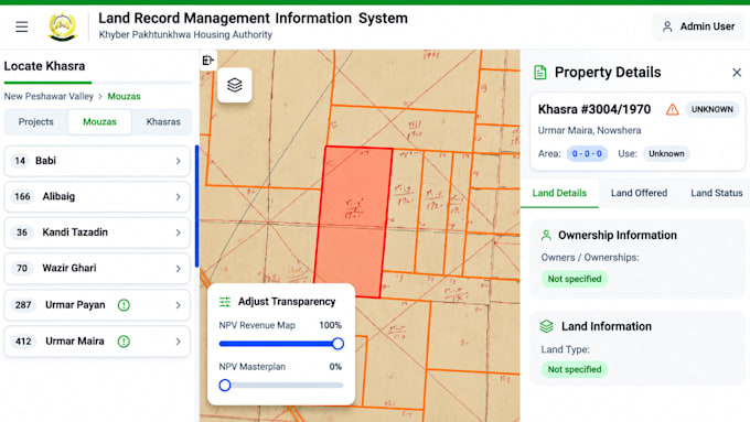
Ik ga dynamische webgis-kaarten en interactieve gis-applicatie maken

S
sulaiman45599
S
sulaiman45599
Sulaiman
Sommige informatie is automatisch vertaald.

Over deze dienst

Automatische vertaling

Nodig professionele GIS-kaarten of interactieve WebGIS-toepassingen?

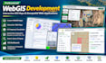
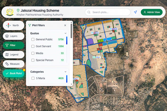
Ik ontwikkel dynamische, responsieve en gebruiksvriendelijke WebGIS-toepassingen die zijn afgestemd op jouw projectvereisten.

Als GIS- en Remote Sensing-specialist lever ik professionele geospatiale oplossingen met behulp van moderne mappingtechnologieën.

Mijn diensten:

  • Aangepaste WebGIS-toepassingen
  • Interactieve webkaarten en dashboards
  • GIS-mapping en ruimtelijke visualisatie
  • Leaflet, Mapbox en ArcGIS Online
  • Geoserver (WMS/WFS) integratie
  • Integratie van Shapefile, GeoJSON, KML en CSV
  • GIS-lagenbeheer, zoeken en popups
  • PostgreSQL/PostGIS-integratie

Technologieën: React.js, JavaScript, Leaflet, Mapbox, GeoServer, PostGIS, QGIS en ArcGIS Pro.

Laten we jouw ruimtelijke data omzetten in krachtige, interactieve kaarten!

Neem contact met me op voordat je een bestelling plaatst om je project te bespreken.

Maak kennis met Sulaiman

Sulaiman

WEBGIS and Hydrology Expert

  • Afkomstig uitPakistan
  • Lid sindsdec 2020
  • Gem. reactietijd1 uur
  • Talen

    Pasjtoe, Urdu, Engels, Frans
I am a GIS and Remote Sensing specialist with expertise in WebGIS development, hydrological modeling, and geospatial analysis. I develop interactive WebGIS applications, dynamic mapping dashboards, and custom web maps using React.js, Leaflet, Mapbox, GeoServer, and PostGIS. My services also include GIS mapping, satellite image analysis, watershed delineation, flood hazard mapping, and hydrological modeling using HEC-RAS, HEC-HMS, and SWAT. I am passionate about transforming geospatial data into meaningful insights and practical solutions.

Automatische vertaling

Mijn portfolio

Gerelateerde tags