Door categorieën bladeren
Ontdekken
Fiverr Pro
Nederlands
$
USD

Krida
@timakrida
Level 1
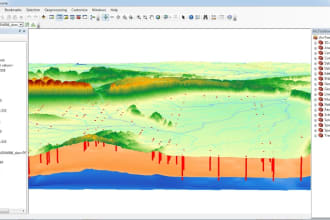
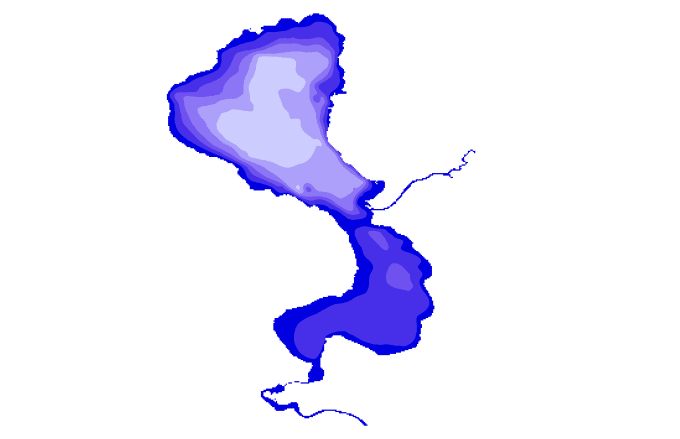
I will create professional GIS maps, bathymetric analysis
Marokko
Engels
Over mij
Are you looking for a professional GIS analyst, cartographer, and geologist with over 10 years of experience? You’ve found the right expert!
I specialize in GIS mapping, spatial analysis, hydrology, and remote sensing using ArcGIS, ENVI 5.3, QGIS, and advanced geospatial tools. I have successfully delivered projects in environmental studies, geology, topography, hydrology, stormwater management, and urban planning.
My Services Include:
Cartography & Symbology –Bathymetric Data Analysis-Hydrology & Stormwater Manaent – runoff modeling, watershed delineation, drainage maps.
Topographic Mapping
Skills

Krida
US$ 50/uur
offline •
Gemiddelde reactietijd: 1 uur
Bekijk mijn diensten

Geografisch informatiesysteem (GIS)
I will create topographic contour lines

Geografisch informatiesysteem (GIS)
I will create bathymetric maps for any lakes in word
Wil je op uurbasis werken?
Vertel Krida wat je nodig hebt.
US$ 50
/
uur74 Reviews
| (73) | ||
| (1) | ||
| (0) | ||
| (0) | ||
| (0) |
Specificering van de beoordeling
- Communicatieniveau van de freelancer
- Kwaliteit van de levering
- Waarde van de levering
1-5 van 74 reviews
Sorteer op
Meest relevant
tianard

Verenigde Staten
Nuttig?
lidamsoukouli
Terugkerende klant

Griekenland
very satisfied, thank you Krida!
Nuttig?
myoung101010

Verenigde Staten
Exceeded expectations, delivered exactly what was needed. Thank you!
Nuttig?
nickmikulec
Terugkerende klant

Verenigde Staten
Repeat customer! He’s a Rockstar. Amazing communication, high quality work.
Nuttig?
lidamsoukouli
Terugkerende klant

Griekenland
very happy with the quality of professionalism and delivery of results! I will definitely work again with Krida.
Nuttig?

