Sommige informatie wordt in het Engels weergegeven.
Over mij
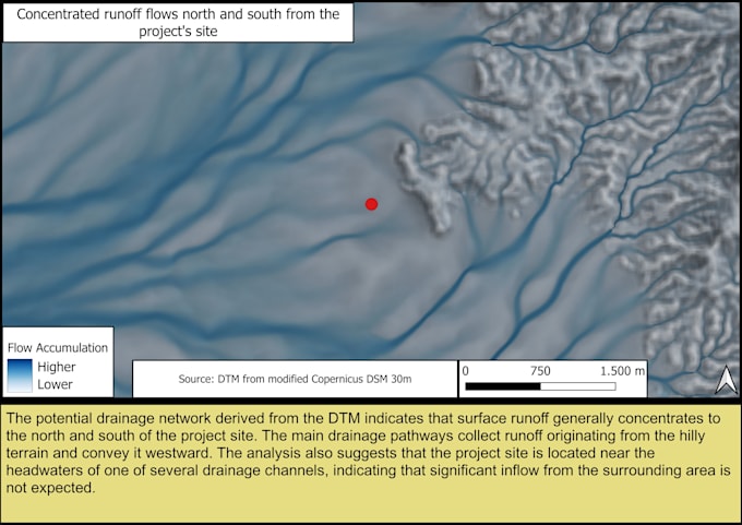
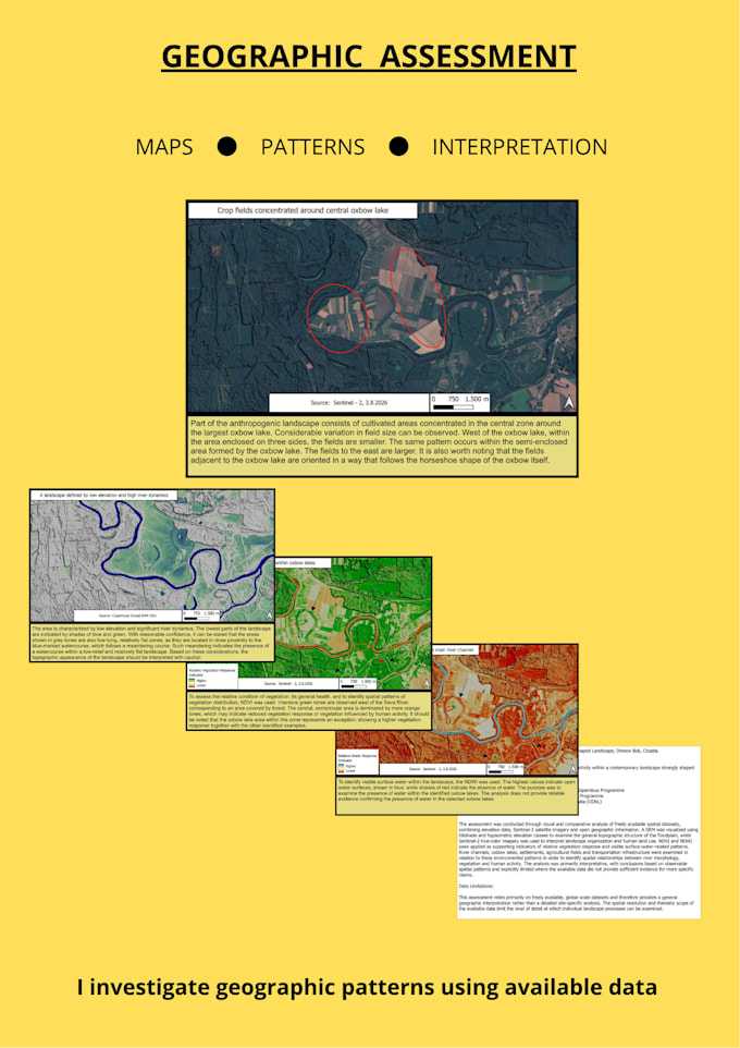
I use GIS, digital elevation models (DEM), and satellite imagery to investigate how landscapes are organized and how surface water moves across them. My work focuses on revealing terrain relationships that are often difficult to recognize, such as ridges, slopes, valleys, and drainage pathways, and translating them into clear, understandable visual analyses.
My reports combine technical GIS analysis with straightforward written explanations, making the results accessible to both technical and non-technical audiences. Every conclusion is presented within the limitations of the available data.... Lees meer