Door categorieën bladeren
Ontdekken
Fiverr Pro
Nederlands
$
USD


Automatische vertaling
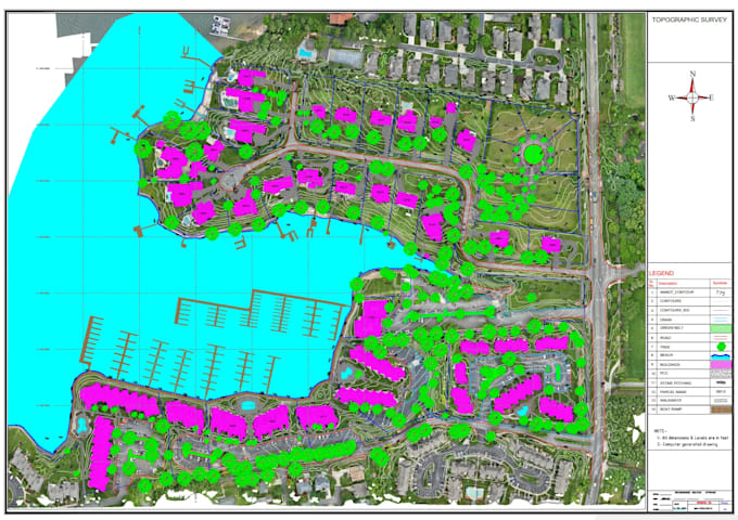
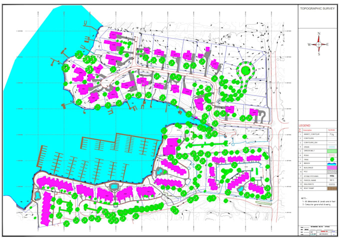
Ik zet jouw drone survey data, orthomosaic, point cloud, DSM/DTM, hoogtedata of survey-informatie om in een gedetailleerde en professionele topografische tekening. Ik kan sitegrenzen, percelen, hoogtes, contouren, spots, wegen, gebouwen, zichtbare nutsvoorzieningen, drainage en andere bestaande elementen op het terrein extraheren en schetsen.
Ik organiseer de beschikbare informatie in een overzichtelijk en nauwkeurig AutoCAD/Civil 3D topografisch plan, geschikt voor residentiële, commerciële, bouw-, engineering- en landontwikkelingsprojecten. Daarnaast kan ik relevante GIS- en satellietinformatie toevoegen om de context en presentatie van de site te verbeteren.
Mijn achtergrond in topografisch onderzoek, civiele techniek, GIS, UAV-mapping, AutoCAD en Civil 3D stelt me in staat om complexe survey data om te zetten in duidelijke, professionele en praktische tekeningen.
GIS, Drone Mapping, WebGIS, LiDAR and Remote Sensing Specialist
Talen
Automatische vertaling