a
abdul7360620

Abdul Rahman

@abdul7360620
5,0(2)

GIS, Drone Mapping, WebGIS, LiDAR and Remote Sensing Specialist

Pakistan
Engels
Sommige informatie wordt in het Engels weergegeven.
Over mij
I’m Abdul Rehman, a Geoinformatics Engineer and GIS Specialist with expertise in UAV/Drone Mapping, Photogrammetry, LiDAR, Remote Sensing, Topographic Surveying, GIS, CAD, WebGIS, and Satellite Data Processing. I work with ArcGIS, QGIS, Civil 3D, AutoCAD, Agisoft Metashape, Pix4D, Global Mapper, Google Earth Engine, CloudCompare, and Python. I create accurate orthomosaics, DSM/DTM, point clouds, contours, 3D models, topographic maps, GIS dashboards, WebGIS applications, and spatial analysis solutions.... Lees meer

Skills

a
abdul7360620
Abdul Rahman
offline • 
Gemiddelde reactietijd: 2 uur

Bekijk mijn diensten

Geografisch informatiesysteem (GIS)
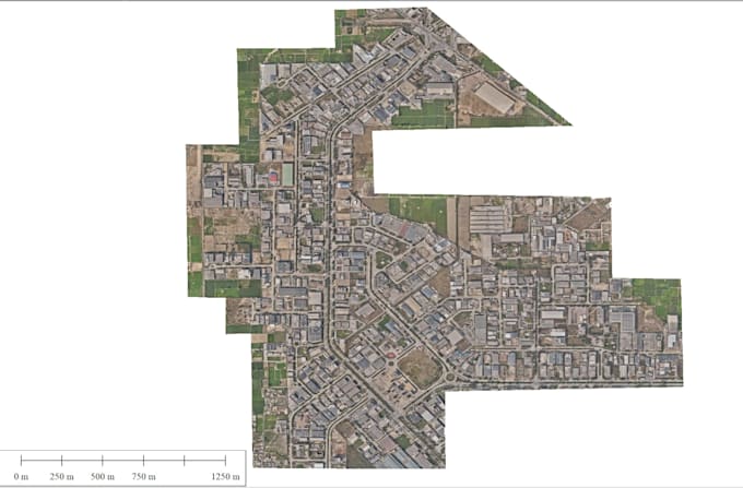
I will drone data processing and point cloude classification dsn dtm mosaic
5,0(2)
2D-tekeningen en plattegronden
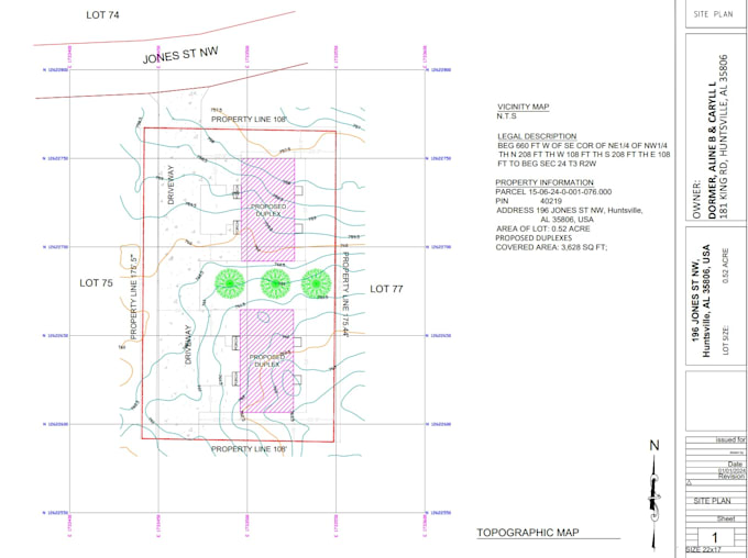
I will topographic survey plan for your lot

2 Reviews
5,0

(2)
(0)
(0)
(0)
(0)
Specificering van de beoordeling
  • Communicatieniveau van de freelancer
    5
  • Kwaliteit van de levering
    5
  • Waarde van de levering
    5
1-2 van 2 reviews
Sorteer op
Meest relevant
    G

    geotechnical1

    IT

    Italië

    Lopende samenwerking
    5

    I am very happy about the quality of the job. It was done as I expected. Thanks

    US$ 100-US$ 200

    Prijs

    2 weken geleden

    Looptijd

    gig

    Geografisch informatiesysteem (GIS)

    Nuttig?
    Ja
    Nee
    G

    geotechnical1

    IT

    Italië

    Lopende samenwerking
    5

    The job was carried out as I expected. I am satisfied about the quality of the product I received

    US$ 100-US$ 200

    Prijs

    7 dagen

    Looptijd

    gig

    Geografisch informatiesysteem (GIS)

    Nuttig?
    Ja
    Nee