Sommige informatie wordt in het Engels weergegeven.
Over mij
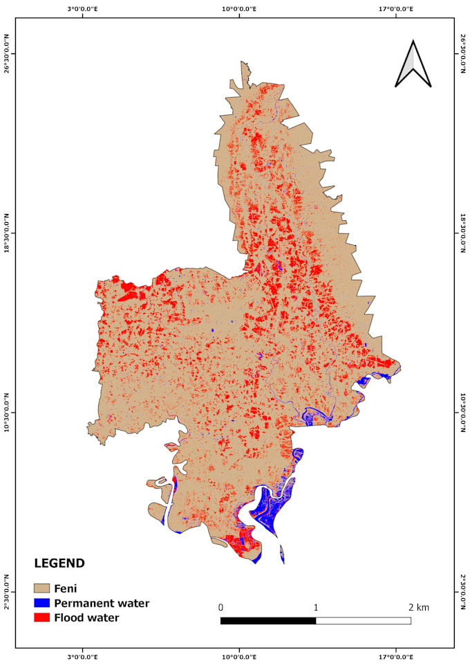
I am a Forestry graduate specializing in GIS & Remote Sensing. I provide professional spatial analysis using Google Earth Engine, QGIS, and Python. My services include flood mapping, NDVI & vegetation analysis, LULC classification, air quality monitoring, and time-series satellite analysis. I deliver accurate maps, reports, and geospatial insights for researchers, students, NGOs, and consultants. Let’s turn satellite data into actionable results!... Lees meer