Sommige informatie wordt in het Engels weergegeven.
Over mij
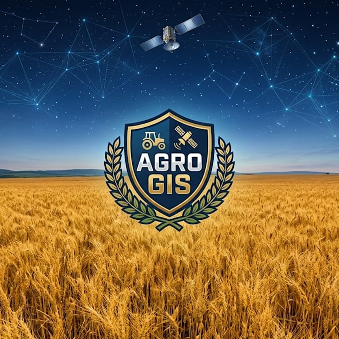
Hello! I am an Agricultural Engineer with a strong background in precision agriculture, geospatial analysis (GIS), and engineering design.
I bridge the gap between complex raw data and practical farm management. By combining my expertise in agronomy, topography, and Python programming, I help farmers and AgTech businesses make data-driven decisions to optimize yields, manage irrigation, and monitor crop health using satellite imagery.
My technical skill set includes:
Geospatial Analysis & Remote Sensing (QGIS, GeoPandas, GDAL)
Topography and Spatial Data Processing
Feel free to contact me... Lees meer