Sommige informatie wordt in het Engels weergegeven.
Over mij
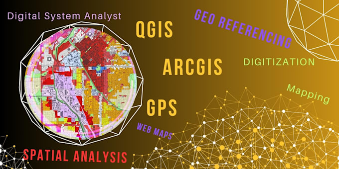
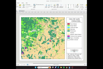
I am a GIS and Remote Sensing specialist skilled in ArcGIS, QGIS, and Google Earth Engine. I create accurate maps, perform spatial analysis, process satellite images, and deliver high-quality geospatial solutions for environmental studies, research, EIA reports, agriculture, and urban planning. I provide fast, reliable, and detailed GIS services including NDVI, LULC mapping, georeferencing, digitization, and shapefile creation. Your project will receive precise and professional results.... Lees meer