g
ghulam_m015

Ghulam M

@ghulam_m015

Precision GIS,Remote Sensing and Photogrammetry Service

Pakistan
Urdu, Engels
Sommige informatie wordt in het Engels weergegeven.
Over mij
GIS Expert at Habib Rafiq (Pvt) Ltd with 4+ years of government and industry geospatial experience and an MS in Remote Sensing & GIS (IST Islamabad). I process drone and satellite imagery, convert CAD drawings into accurate GIS data, and automate spatial workflows in Python. Author of quakeion, an open-source geospatial library on PyPI. I deliver clean, georeferenced data and clear maps, on time.... Lees meer

Skills

g
ghulam_m015
Ghulam M
offline • 
Gemiddelde reactietijd: 1 uur

Bekijk mijn diensten

Geografisch informatiesysteem (GIS)
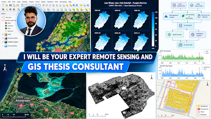
I will be your expert gis remote sensing and hydrology thesis consultant
3D-modellering en -rendering
I will drone mapping, orthomosaic, stockpile volume and contour maps

Portfolio

Werkervaring

Pakistan_Engineering Council

GIS Expert

Pakistan Engineering Council • Fulltime

Jun 2026 - Present • 5 mos

Providing GIS and remote sensing services for urban planning projects, including photogrammetry, satellite imagery analysis, and spatial mapping.