Door categorieën bladeren
Ontdekken
Fiverr Pro
Nederlands
$
USD

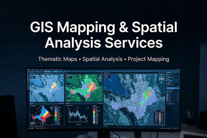
Smart Solutions in GIS, Excel Automation, and Web Development
Skills
Bekijk mijn diensten

GIS Specialist / Spatial Data Analyst
PT Rekadwipa Teknika Studio • Fulltime
Jan 2022 - Present • 4 yrs 5 mos
Worked as a GIS Specialist supporting urban and regional planning projects. Responsible for producing thematic and technical maps, spatial data processing, and basic to intermediate spatial analysis for planning studies and reports. Handled large-scale datasets and delivered hundreds of high-quality maps for government and private sector projects. Improved workflow efficiency through batch processing, driven pages, and automation using ArcGIS tools and Python. Frequently collaborated with planners and engineers to translate technical data into clear, decision-ready visual outputs.
GIS & Administrative Intern
Village Government Office – Wonogiri Regency • Freelance
Feb 2020 - Mar 2020 • 1 mo
Assisted village administration activities with a focus on basic mapping and data management. Supported land use data collection, population data processing, and simple spatial visualization for village documentation and reporting. Gained hands-on experience working with real administrative data and understanding local government workflows at the village level.
