Sommige informatie wordt in het Engels weergegeven.
Over mij
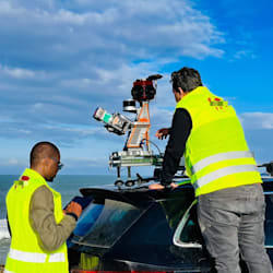
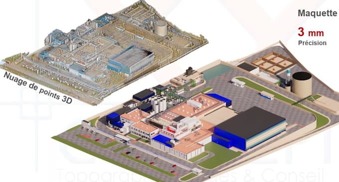
Surveying engineer (MSc Geodesy) specialised in drone photogrammetry, LiDAR point clouds and Scan to BIM. I have delivered orthophotos and restitution over 18,000+ ha for an urban agency, 3D digital models of cement plants (LafargeHolcim), phosphate stockpile volumes (OCP), a highway drone survey (ADM) and open-pit gold mine surveys. I deliver orthomosaics, DTM, contours, Revit and AutoCAD as-built models, and volume reports with Metashape, Pix4D, Cyclone, RealWorks, CloudCompare, Revit, Civil 3D and QGIS. Precise and quality-checked.... Lees meer