Door categorieën bladeren
Ontdekken
Fiverr Pro
Nederlands
$
USD

Earth Observation Scientist
Skills
Bekijk mijn diensten
Earth obsevation Scientist
Fiverr • Freelance
Oct 2024 - Present • 1 yr 9 mos
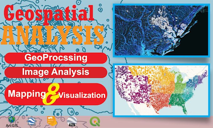
GIS & Remote Sensing Specialist | Google Earth Engine & Geospatial Analytics Experienced GIS and Remote Sensing Specialist with expertise in satellite data processing, geospatial analysis, and agricultural monitoring using advanced Earth Observation techniques. Skilled in developing scalable workflows using Google Earth Engine (GEE), Python, and machine learning for crop classification, vegetation analysis, biomass estimation, and environmental assessment. Proficient in processing Sentinel-1/2, Landsat, and Planet satellite imagery for applications in agriculture, water resources, climate resilience, and land-use monitoring. Strong background in spatial modeling, phenology analysis, NDVI time-series interpretation, and geospatial automation. Core Expertise: Google Earth Engine (JavaScript & Python API) Remote Sensing & GIS Analysis Crop Classification & Yield Estimation NDVI, NDRE, RECI, PSRI & Vegetation Indices Satellite Image Processing (Sentinel, Landsat, Planet) Machine Learning for Geospatial Applications Python Geospatial Libraries (GeoPandas, Rasterio, GDAL) Spatial Interpolation & Raster Analysis Agricultural & Water Resource Mapping Geospatial Data Visualization & Automation Industries: Precision Agriculture Climate & Environmental Monitoring Water Resource Management Disaster & Vulnerability Assessment Land Use / Land Cover Mapping Research & Development
