Sommige informatie wordt in het Engels weergegeven.
Over mij
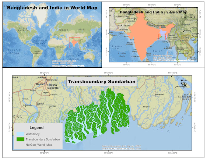
I provide professional GIS and remote sensing services for environmental studies, research, and planning. I specialize in GIS mapping, spatial analysis, satellite image processing, land use/land cover classification, and forest canopy density analysis. Using QGIS, ArcGIS, and Google Earth Engine, I deliver accurate maps and well-structured spatial data with clear visualization and on-time delivery. Feel free to contact me to discuss your project before ordering. Here is my Portfolio: mdsohel.me/portfolio... Lees meer