Sommige informatie wordt in het Engels weergegeven.
Over mij
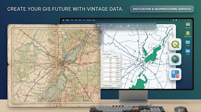
I am a GIS and remote sensing specialist with hands-on experience in spatial data processing, digital mapping, satellite image analysis, and LiDAR/UAV data processing. Proficient in QGIS, MapInfo, ArcGIS, Google Earth Engine, and Python. I have a background in forest resource management and have worked on projects related to forest status mapping, fire risk classification, and forest volume estimation. I am available for remote freelance projects with flexible hours, committed to delivering quality results on time.... Lees meer