Sommige informatie wordt in het Engels weergegeven.
Over mij
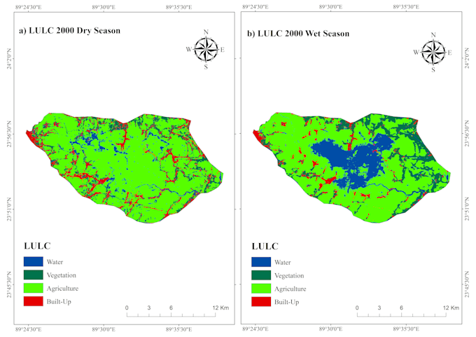
I am a GIS and Remote Sensing Analyst specializing in geospatial data analysis, satellite image processing, Google Earth Engine, and machine learning. I work with ArcGIS, QGIS, Google Earth Engine, and Python to perform spatial analysis, land use/land cover mapping, change detection, environmental assessment, and geospatial modeling. I can help transform geospatial data into accurate maps, analytical results, and research-ready outputs.... Lees meer