GIS Expert ArcGIS QGIS Spatial Analysis and Remote Sensing Specialist
Marokko
Engels, Frans, Arabisch
Sommige informatie wordt in het Engels weergegeven.
Over mij
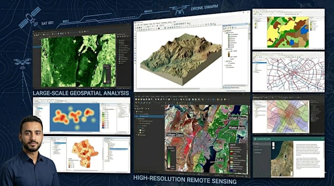
GIS & Remote Sensing specialist with expertise in ArcGIS, QGIS & Google Earth. I deliver spatial analysis, LULC classification, hotspot mapping, weighted overlay, network routing, image classification, geodatabase design, cartographic maps & Story Maps. I support research, urban planning, environmental monitoring & smart cities projects. Every deliverable is precise, visually compelling & tailored to your needs. Message me to discuss your project — I respond promptly.... Lees meer